
PRT - Hermes
HERMES NETWORK SIMULATOR
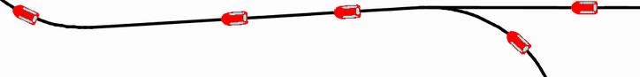
The Hermes Network Simulator is a program that allows us to design a network on a city and observe the level of service it can provide , i.e. number of passengers and total trip time.
It features an easy to use Graphical User Interface.
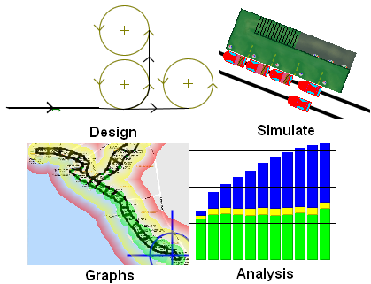
Simulator is written in Java. It runs in several platforms (not only Windows)
In order to use it you must have installed the Java Runtime Environment (1.5) provided by SUN You can get it by clicking here.
Click  to get a .zip file that contains
- simulator
- 2 fast tutorials for using it
- detailed manual
- some demo networks
to download a video (4:30) (alternative format: simulator.mpg and on youTube(low quality)
) with a quick introduction to simulator and its capabilities.
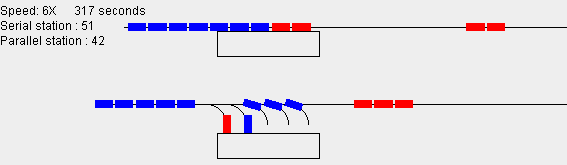
There is also available a smaller station simulator, which compares the efficiency between serial and parallel PRT stations.
Click to get a .zip file that contains
- station simulator
- instructions
Online demo networks(click on images to run simulation - you must have Java installed) |
|
|
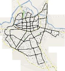
A PRT network for the city of Patras, Greece. It has 74 stations and 64 km of guideway (main + offline guideway). Here are the results of the simulation. |
|
A PRT network for the city of Larissa, Greece. It has 101 stations and 79 km of guideway. Here are the results of the simulation. |
|
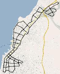
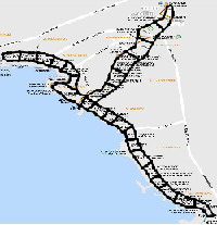
This network serves the same areas that the existing light-rail network in Athens serves. It has 71 stations and 57 km of guideway. Here are the results of the simulation. |
|
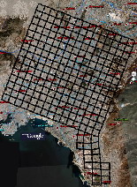
A relatively sparse network for the city of Athens, capital of Greece. It has 521 stations and 522 km of guideway. Here are the results of the simulation. (This network is big. If you run out of memory you may apply the fix described here or download and run the normal simulator) |
|
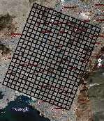
A better (= more dense) network for the city of Athens , Greece. It has 752 stations and 612km of guideway. Here are the results of the simulation. (This network is big. If you run out of memory you may apply the fix described here or download and run the normal simulator) |
|
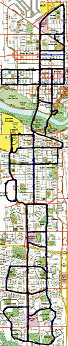
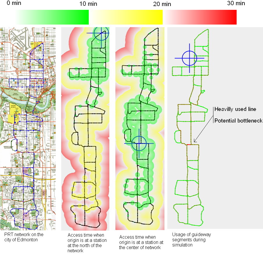
This network is for the city of Edmonton, Canada. I got the map from Eric Baumgartner's site. It has 112 stations and 79 km of guideway. There is also an image describing some of the results of the simulation. |
Other available networks(click on the images to download a zip file with the network) |
|
|
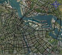
This 697-station network for the city of Amsterdam was designed by Rick Visser. Here is his PRT related site Here are the results of the simulation. |