
Hermes - PRT
Amsterdam network
This is the simulated network:
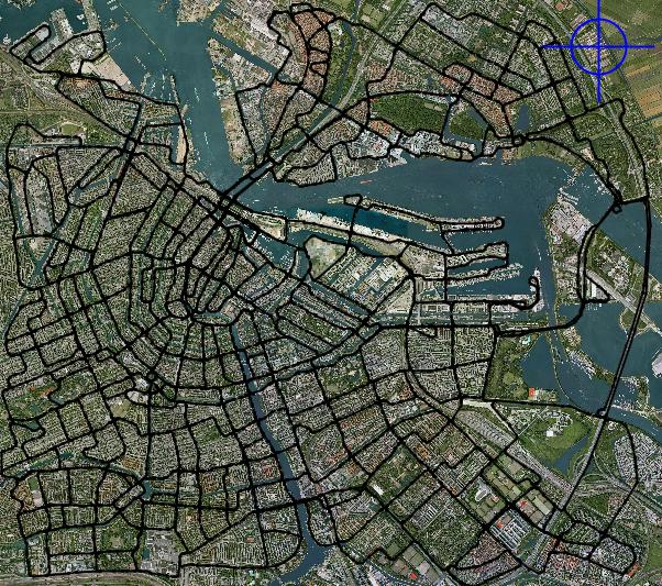
It has 697 stations.
According to the simulation this network can serve 52.000 trips in 30 minutes (104.000 trips/hour) . To achieve this 16.823 vehicles were used. The average trip length was 5.9 km.
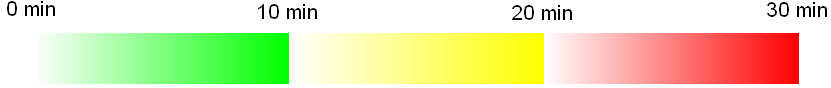
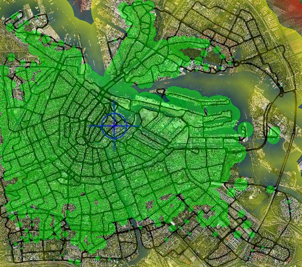
In the maps below you can see how far one can go using the network, starting at a specific point. (calculations include walking and queuing at stations)
|
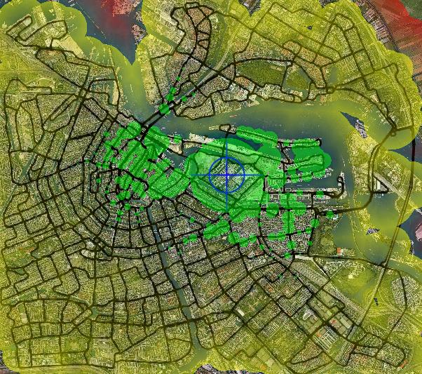
Starting at a station at the center of the network: Most of the city is accessible within 10 minutes. |
|
Starting at a point in the center, 3-4 minutes away from a station: A significant portion of the city is accessible within 10 minutes. The entire network area is accessible within 20 minutes. |
|
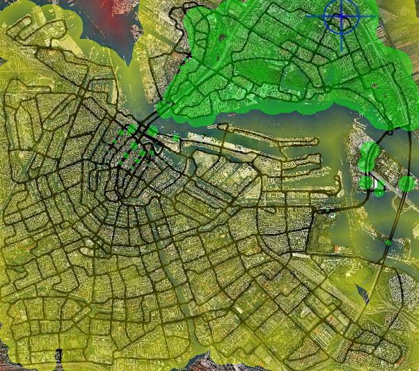
Starting at a station at the edge of the network: A significant portion of the city is accessible within 10 minutes. The rest is accessible within 20 minutes. |
|
|
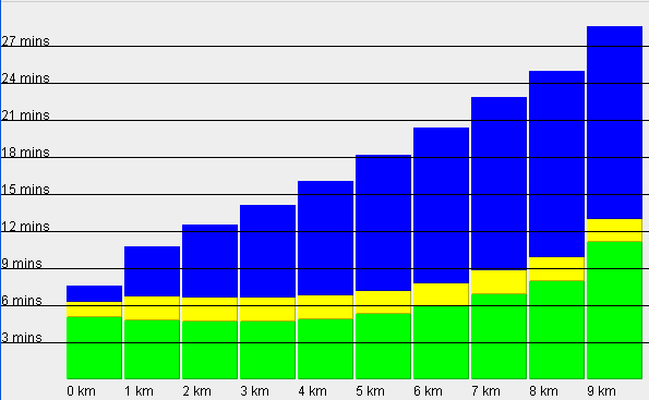
Average trip time (90000 trips random origin/destination): Blue=time on guideway Yellow= queueing / delays / station operations Green = walking time |
|
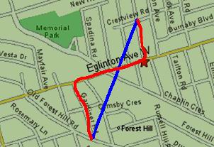
Note: On the above bar graph as distance is meant the straight origin-to-destination line , not the distance actually travelled E.g. in the left picture the blue distance , not the red one. |
Under overloading conditions the network can service up to 140.000 trips / hour. In this case however waiting times at stations are larger and the final commuting speed is lower.